Maxsea Timezero 3DHR Bathy Data
Maxsea Timezero 3DHR Bathy Data is now available....
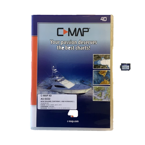
The 3D High Resolution Bathymetric file is now available & compatible with TZTouch3 software V2 and TZ- Pro V4 with PBG module. This is an additional add on to your current New Zealand charting (Needs to be used in conjunction with C-Map or Navionics charts, as this data is not navigational).
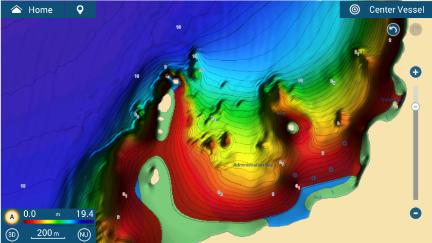
Example 1

Administration Bay - New Zealand with a standard C-Map chart

Administration Bay - New Zealand with the 3DHR Bathy Data with a C-Map chart
Example 2

East Cape - New Zealand with a standard C-Map chart

East Cape - New Zealand with the 3DHR Bathy Data with a C-Map chart
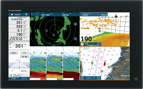
Can only be used with TZTouch3 software V2 and TZ- Pro V4 with PBG module.
Can this purchased for my TZTouch2 Multi Function Display?
Unfortunately this product is not compatible with the TZTouch 2 Range